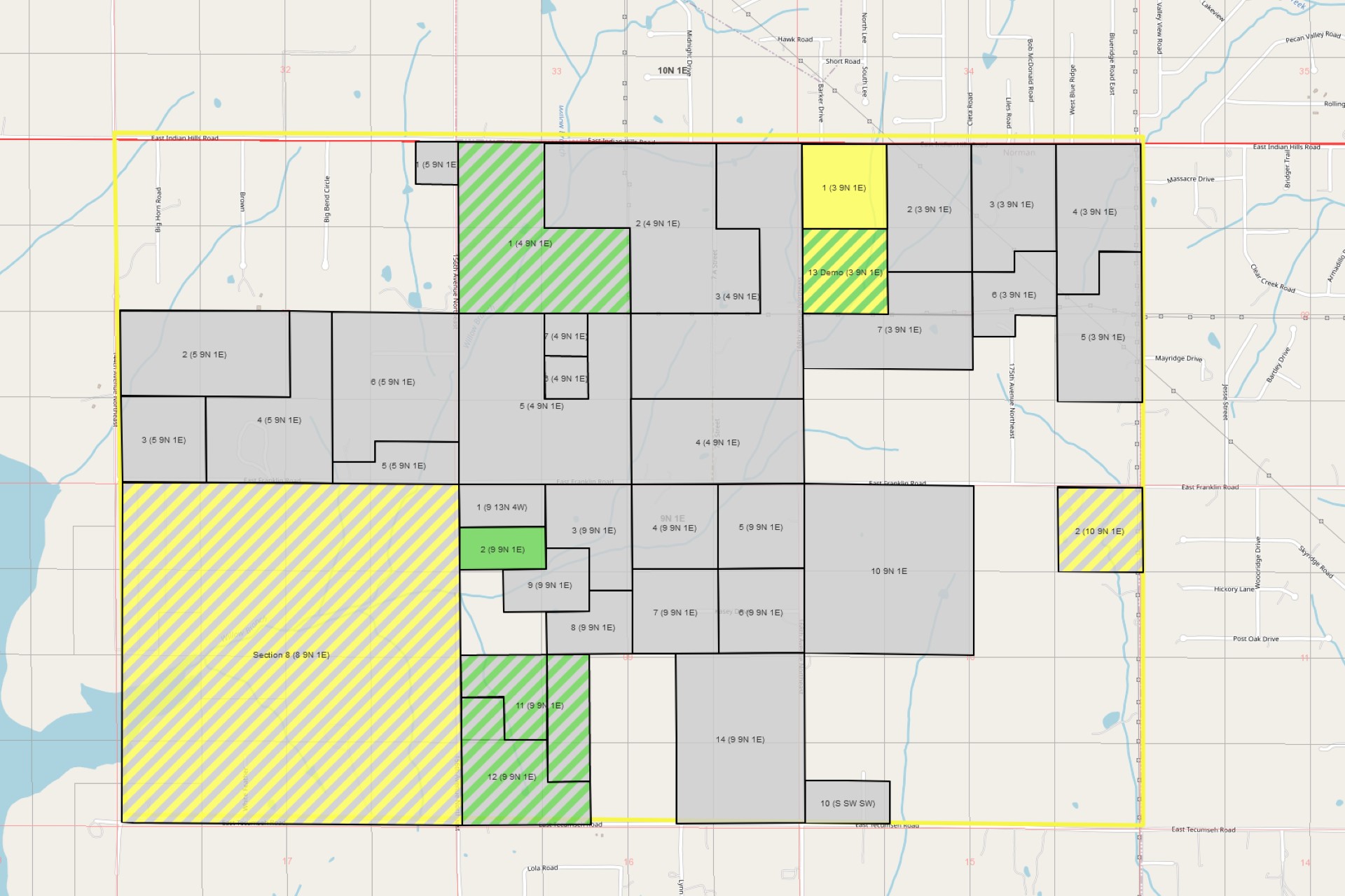
I have just finished the basics for a big feature in mapping. When you have uploaded a shapefile to represent your tract it will be colored in based on the tract’s lease status.
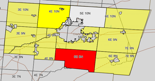
If there is no lease information it will be shown as an off white shape. Once the tract is partially leased or being worked it will be shown as striped yellow. After all of the active leases are signed it will be shown as solid yellow. If any of the leases attached to the tract are in “Held By Production” it will be shown in red. Here’s a screen shot to show a small sample. Map ShadingI apologize that my current sample isn’t a real tract or even sections. Current I am working on building out a real world example of a plat or tract group. In future screenshots you will be able to get a better visualization of what it will really look like with your data. One of the biggest features of this feature is it will update the coloring as you work the leases inside landboss. No need to manually change the lease status for your maps. I hope that you enjoy this feature as much as I have enjoyed making it.As always if there is anything that you would like to be seen let us know.