A couple of weeks ago, after careful consideration, we made the decision to switch mapping servers from Autodesk's Mapguide to Esri's ArcView. Mapguide is a fine product and the feature to cost ratio is great, but we have outgrown it's capabilities and are in need of something more robust.
Our customers have come to expect a certain level of quality from us and so in order to provide that quality in the mapping features of Landboss, we are switching to ArcView. The team is working on the transition as I write this and we will be rolling improvements out in phases with the first phase due very soon. To give you an idea of what to expect, here is a list of some of the improvements:
- Panning and zooming the map will be dramatically more smooth
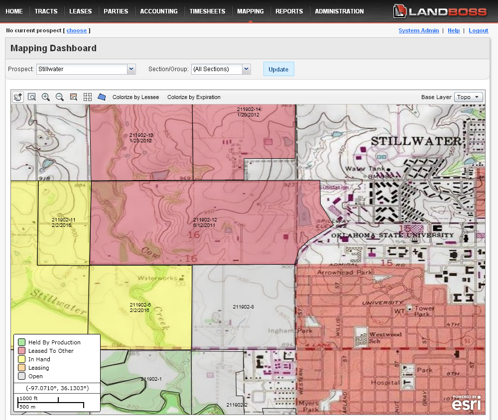
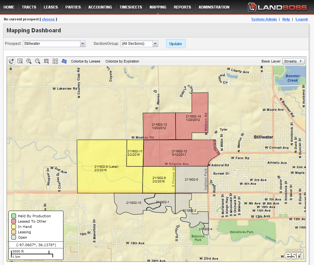
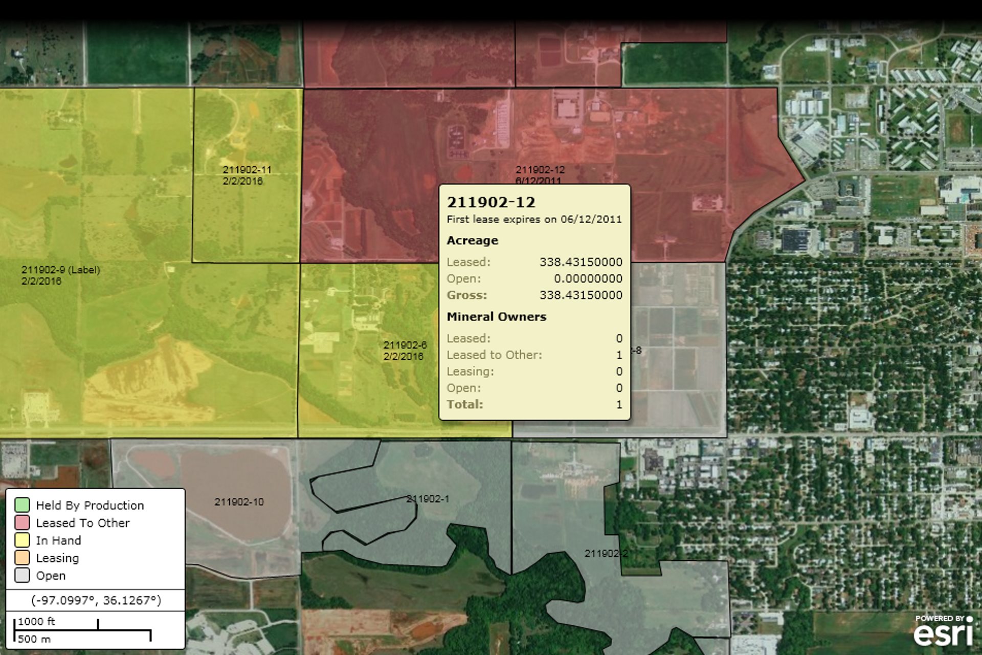
- Topographic and aerial base maps
- Ability to display layers from many different sources, including customers own servers
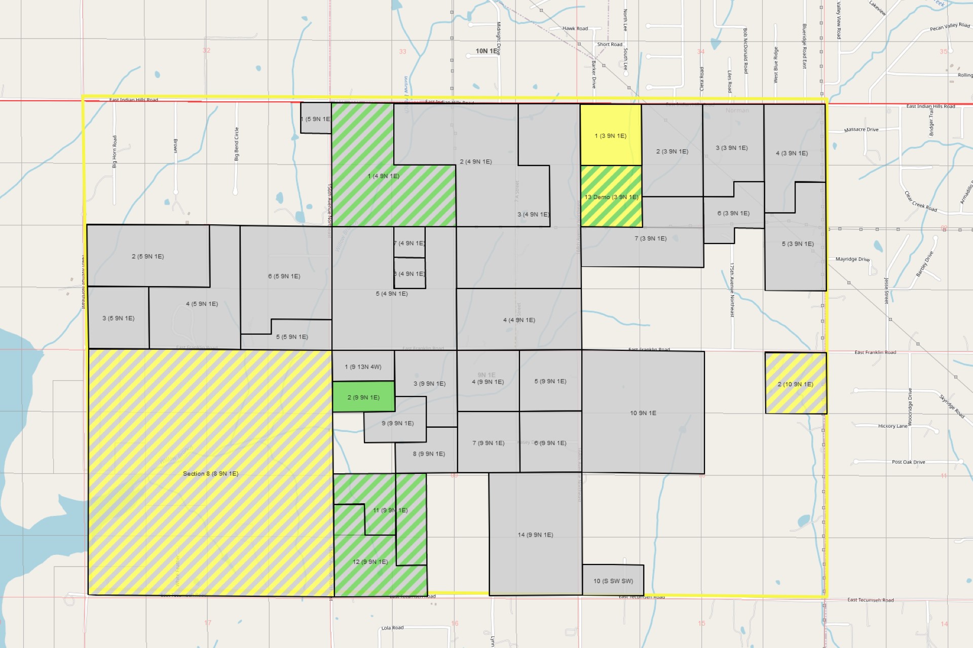
- Prospect outlining
- Custom coloring
- Wall map printing
I was able to see a preview a couple of days ago and I was blown away with just how much easier it was to use. I really look forward to the day we're able to roll it out to our customers.
Update
We have launched our new mapping and it has been operating flawlessly. In the next few months, we'll be working on adding additional features to make it even more useful for our customers.